UN
3 Lander Road
£ 65,000
Description
We don't have a Description for this property.
- Bedrooms
- 3
- Bathrooms
- 0
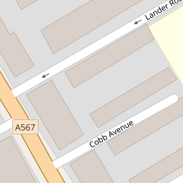

Leaflet © OpenStreetMap contributors
The heatmap indicates the level of crime in the area. The color of the heatmap indicates the crime severity and recency.
Metrics Year-on-Year
- Average area value
- 123,750.00 £Decreased by 33.18 %
- Average area rental value
- 768.00 £/moDecreased by 3.15 %
- Est rental Yield
- 7.45 %Increased by 44.94 %
- Crime Rate
- 11.00 %Unchanged by 0.00 %
from 185,189.00 £
from 793.00 £/mo
from 5.14 %
from 11.00 %
Nearby Schools
| Name | Type | Ofsted | Distance |
|---|---|---|---|
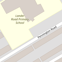
| Lander Road Primary School | Community School | Good | 0.11 KM |
| St Elizabeth'S Catholic Primary School | Voluntary Aided School | Good | 0.22 KM |
| Linacre Primary School | Community School | Requires improvement | 0.61 KM |
| Thomas Gray Primary School | Community School | Requires improvement | 0.69 KM |
| All Saints Catholic Primary School | Voluntary Aided School | Good | 0.80 KM |
Images
Nearby Streets
| Name | Average Price | Average Sqft | Distance |
|---|---|---|---|
| Wood Street | £ 145,000 | 0 | 0.00 KM |
| Chesnut Grove | £ 164,950 | 0 | 0.00 KM |
| Selsey Road | £ 0 | 0 | 0.00 KM |
| Snowdrop Mews | £ 0 | 0 | 0.00 KM |
| Balfour Road | £ 0 | 0 | 0.00 KM |
Nearby Transport
| Name | NLC | TLC | Distance |
|---|---|---|---|
| Bootle New Strand | 2195 | BNW | 1.05 KM |
| Seaforth And Litherland | 2250 | SFL | 1.21 KM |
| Bootle Oriel Road | 2239 | BOT | 1.80 KM |
| Kirkdale | 2245 | KKD | 2.90 KM |
| Bank Hall | 2238 | BAH | 2.94 KM |
Nearby Listings
| Address | Price | Type | Score | Distance |
|---|---|---|---|---|
| Lander Road, Liverpool, Merseyside, L21 | £ 140,000 | BUY | 7 / 10 | 0.00 KM |
| Lander Road, Liverpool, L21 | £ 75,000 | BUY | Unknown | 0.00 KM |
| Blisworth Street, Litherland, Merseyside, L21 | £ 110,000 | BUY | Unknown | 0.06 KM |
| Linacre Road, Liverpool, Merseyside, L21 | £ 60,000 | BUY | 5 / 10 | 0.16 KM |
| St. Andrews Road, Bootle | £ 120,000 | BUY | Unknown | 0.20 KM |
Nearby Properties
| Address | Price | Distance |
|---|---|---|
| 27 Lander Road | £ 87,000 | 0.00 KM |
| 5 Lander Road | £ 56,825 | 0.00 KM |
| 35 Lander Road | £ 77,500 | 0.00 KM |
| 11 Lander Road | £ 53,500 | 0.00 KM |
| 7 Lander Road | £ 82,500 | 0.00 KM |